Kitchen garden walls, Bake
Introduction
The photograph on this page of Kitchen garden walls, Bake by Derek Harper as part of the Geograph project.
The Geograph project started in 2005 with the aim of publishing, organising and preserving representative images for every square kilometre of Great Britain, Ireland and the Isle of Man.

There are currently over 7.5m images from over 14,400 individuals and you can help contribute to the project by visiting https://www.geograph.org.uk
Kitchen garden walls, Bake
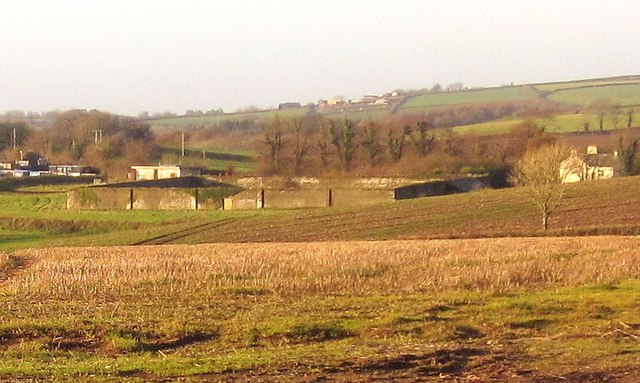
Image: © Derek Harper Taken: 30 Nov 2013
A long-distance view from the gates shown in Image The exactly square garden has C18 walls, described at http://list.english-heritage.org.uk/resultsingle.aspx?uid=1311411&searchtype=mapsearch . On the right is Bake Barton. On the left is part of the premises of Bond Timber. The distant hilltop buildings are at Shortacross.
Images are licensed for reuse under creativecommons.org/licenses/by-sa/2.0
Image Location
Latitude
50.404185
Longitude
-4.361239