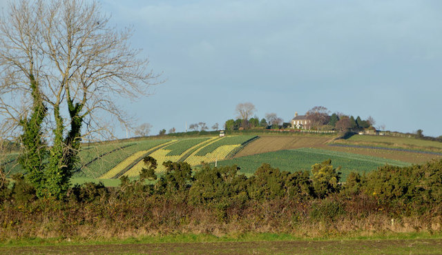
Course of old railway, Comber/Newtownards
Introduction
The photograph on this page of Course of old railway, Comber/Newtownards by Albert Bridge as part of the Geograph project.
The Geograph project started in 2005 with the aim of publishing, organising and preserving representative images for every square kilometre of Great Britain, Ireland and the Isle of Man.
There are currently over 7.5m images from over 14,400 individuals and you can help contribute to the project by visiting https://www.geograph.org.uk

Image: © Albert Bridge Taken: 4 Dec 2013
A line of whin bushes which, when seen from the Comber – Newtownards road, between the Ballyhenry and Moate Roads, looks just like any other field boundary. The current 1:50,000 map and the satellite photograph confirm that they are growing along what was once the railway from Comber to Newtownards and Donaghadee. A comparison with the 1976 one-inch map shows that there is little difference between then and now.

