View to Ysgyryd Fawr and Sugar Loaf
Introduction
The photograph on this page of View to Ysgyryd Fawr and Sugar Loaf by Philip Halling as part of the Geograph project.
The Geograph project started in 2005 with the aim of publishing, organising and preserving representative images for every square kilometre of Great Britain, Ireland and the Isle of Man.

There are currently over 7.5m images from over 14,400 individuals and you can help contribute to the project by visiting https://www.geograph.org.uk
View to Ysgyryd Fawr and Sugar Loaf
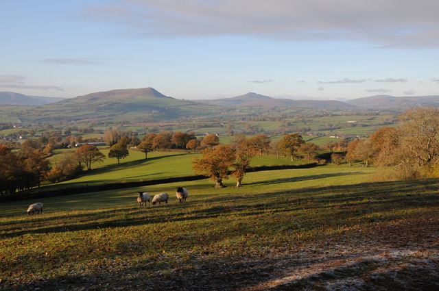
Image: © Philip Halling Taken: 23 Nov 2013
View to Ysgyryd Fawr (Skirrid) and Sugar Loaf from the Three Castles Walk to the south of Grosmont Wood Farm. Sugar Loaf is seen behind Bryn Arw, an outlier in the Black Mountains.
Images are licensed for reuse under creativecommons.org/licenses/by-sa/2.0
Image Location
Latitude
51.880751
Longitude
-2.880911