New Chester Road
Introduction
The photograph on this page of New Chester Road by Stephen McKay as part of the Geograph project.
The Geograph project started in 2005 with the aim of publishing, organising and preserving representative images for every square kilometre of Great Britain, Ireland and the Isle of Man.

There are currently over 7.5m images from over 14,400 individuals and you can help contribute to the project by visiting https://www.geograph.org.uk
New Chester Road
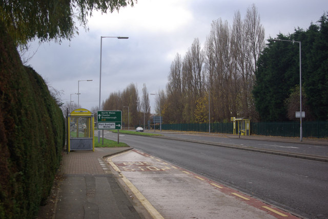
Image: © Stephen McKay Taken: 1 Dec 2013
This is the A41 between New Ferry and Bromborough approaching the junction for Port Sunlight Works.
Images are licensed for reuse under creativecommons.org/licenses/by-sa/2.0
Image Location
Latitude
53.347726
Longitude
-2.986727