Heaton Norris Recreation Ground
Introduction
The photograph on this page of Heaton Norris Recreation Ground by Gerald England as part of the Geograph project.
The Geograph project started in 2005 with the aim of publishing, organising and preserving representative images for every square kilometre of Great Britain, Ireland and the Isle of Man.

There are currently over 7.5m images from over 14,400 individuals and you can help contribute to the project by visiting https://www.geograph.org.uk
Heaton Norris Recreation Ground
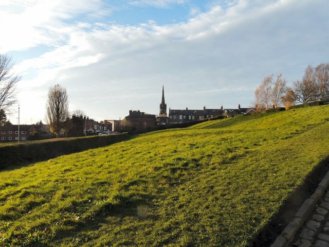
Image: © Gerald England Taken: 30 Nov 2013
Looking along the bank between the Park and the Recreation Ground with the spire of Christ Church in the background.
Images are licensed for reuse under creativecommons.org/licenses/by-sa/2.0
Image Location
Latitude
53.413984
Longitude
-2.164851