Seen between the houses Warfleet Pottery
Introduction
The photograph on this page of Seen between the houses Warfleet Pottery by jeff collins as part of the Geograph project.
The Geograph project started in 2005 with the aim of publishing, organising and preserving representative images for every square kilometre of Great Britain, Ireland and the Isle of Man.

There are currently over 7.5m images from over 14,400 individuals and you can help contribute to the project by visiting https://www.geograph.org.uk
Seen between the houses Warfleet Pottery
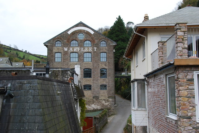
Image: © jeff collins Taken: 2 Dec 2013
From Castle Road. Not sure if the pottery is still working.
Images are licensed for reuse under creativecommons.org/licenses/by-sa/2.0
Image Location
Latitude
50.342049
Longitude
-3.573914