Fire-damaged house, King Street
Introduction
The photograph on this page of Fire-damaged house, King Street by John Baker as part of the Geograph project.
The Geograph project started in 2005 with the aim of publishing, organising and preserving representative images for every square kilometre of Great Britain, Ireland and the Isle of Man.

There are currently over 7.5m images from over 14,400 individuals and you can help contribute to the project by visiting https://www.geograph.org.uk
Fire-damaged house, King Street
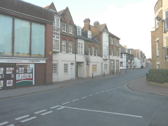
Image: © John Baker Taken: 19 Nov 2013
Seen from the Plains of Waterloo, the ground floor door and window of number 82 is boarded up and the wall above the door indicates that the house has been internally damaged by fire.
Images are licensed for reuse under creativecommons.org/licenses/by-sa/2.0
Image Location
Latitude
51.335593
Longitude
1.421618