Town Hall mark
Introduction
The photograph on this page of Town Hall mark by Neil Owen as part of the Geograph project.
The Geograph project started in 2005 with the aim of publishing, organising and preserving representative images for every square kilometre of Great Britain, Ireland and the Isle of Man.

There are currently over 7.5m images from over 14,400 individuals and you can help contribute to the project by visiting https://www.geograph.org.uk
Town Hall mark
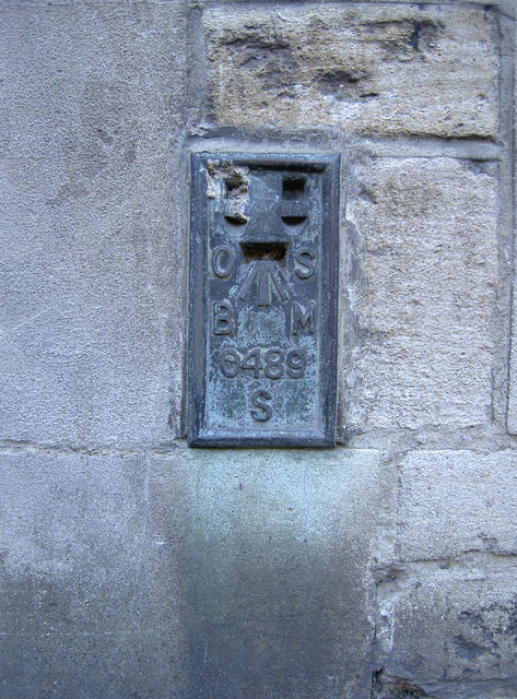
Image: © Neil Owen Taken: 26 Nov 2013
A flush bracket, as listed in the Benchmark Database: http://www.bench-marks.org.uk/bm19615 , on the side of Trowbridge Town Hall. It's actually set in the side of the building down Park Road - a small passageway that leads to the park. See Image] for a wider view.
Images are licensed for reuse under creativecommons.org/licenses/by-sa/2.0
Image Location
Latitude
51.320023
Longitude
-2.20673