New Mossley Hollins High School
Introduction
The photograph on this page of New Mossley Hollins High School by John Topping as part of the Geograph project.
The Geograph project started in 2005 with the aim of publishing, organising and preserving representative images for every square kilometre of Great Britain, Ireland and the Isle of Man.

There are currently over 7.5m images from over 14,400 individuals and you can help contribute to the project by visiting https://www.geograph.org.uk
New Mossley Hollins High School
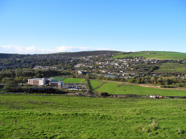
Image: © John Topping Taken: 4 Nov 2013
View west from More Edge Road (Tameside Trail). Hartshead Pike (SD9602) on the skyline.
Images are licensed for reuse under creativecommons.org/licenses/by-sa/2.0
Image Location
Latitude
53.519799
Longitude
-2.02726