Springhill Lane
Introduction
The photograph on this page of Springhill Lane by Christopher Hall as part of the Geograph project.
The Geograph project started in 2005 with the aim of publishing, organising and preserving representative images for every square kilometre of Great Britain, Ireland and the Isle of Man.

There are currently over 7.5m images from over 14,400 individuals and you can help contribute to the project by visiting https://www.geograph.org.uk
Springhill Lane
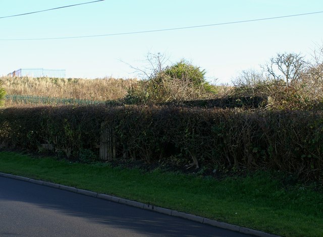
Image: © Christopher Hall Taken: 30 Nov 2013
Just above the hedge can be seen the top of a World War II pill box. This was sited to give protective cover to the Royal Navy radio station in Sandybed Lane at the foot of the hill. the fenced flat area in the background is Springhill Reservoir opened in 1928 to augment the town's water supply at a time when new developments were taking place. Water is pumped to here from Irton Waterworks.
Images are licensed for reuse under creativecommons.org/licenses/by-sa/2.0
Image Location
Latitude
54.272209
Longitude
-0.42381