Uxbridge Road, Hampton (2)
Introduction
The photograph on this page of Uxbridge Road, Hampton (2) by Stefan Czapski as part of the Geograph project.
The Geograph project started in 2005 with the aim of publishing, organising and preserving representative images for every square kilometre of Great Britain, Ireland and the Isle of Man.

There are currently over 7.5m images from over 14,400 individuals and you can help contribute to the project by visiting https://www.geograph.org.uk
Uxbridge Road, Hampton (2)
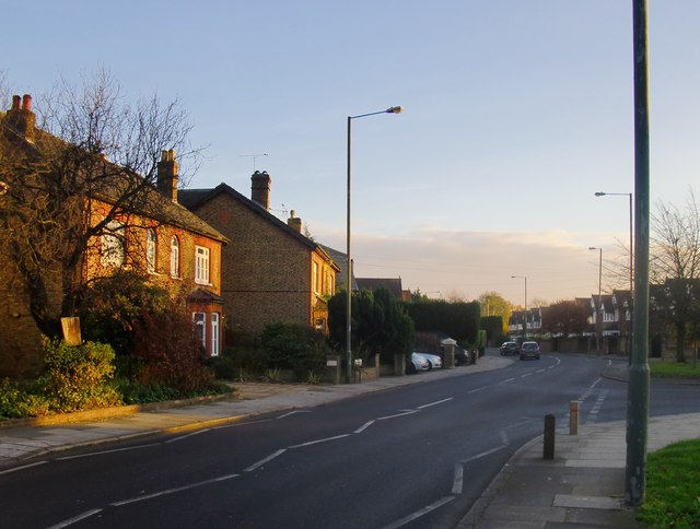
Image: © Stefan Czapski Taken: 1 Dec 2013
View SSE from the junction with Hanworth Road. The Uxbridge Road represents one of the older routes through the area, ante-dating 20th century suburban development. The houses seen in the foreground are a rather older than most hereabouts. Photo taken on a Sunday afternoon in early December. The view in the opposite direction is to be found here: http://www.geograph.org.uk/photo/3764081
Images are licensed for reuse under creativecommons.org/licenses/by-sa/2.0
Image Location
Latitude
51.423961
Longitude
-0.362916