Uxbridge Road, Hampton (1)
Introduction
The photograph on this page of Uxbridge Road, Hampton (1) by Stefan Czapski as part of the Geograph project.
The Geograph project started in 2005 with the aim of publishing, organising and preserving representative images for every square kilometre of Great Britain, Ireland and the Isle of Man.

There are currently over 7.5m images from over 14,400 individuals and you can help contribute to the project by visiting https://www.geograph.org.uk
Uxbridge Road, Hampton (1)
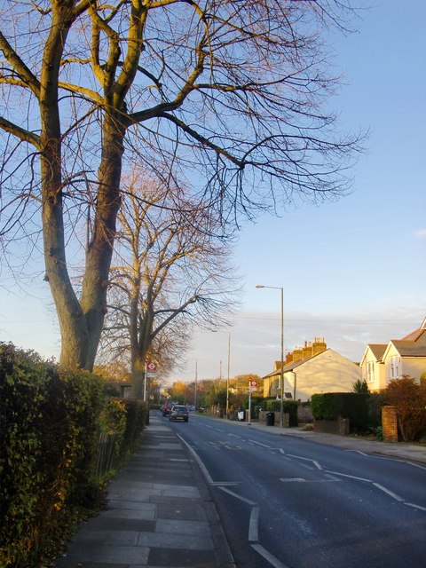
Image: © Stefan Czapski Taken: 1 Dec 2013
View NNW from near the junction with Hanworth Road. The name itself is interesting - this was the main road to Uxbridge in days when west Middlesex was still largely rural - and Uxbridge the next place of any consequence as you headed north-west. These days much of the intervening terrain is residential suburbs, and a stretch of the old road that crossed the Heathrow site (at its eastern end) has disappeared.
Images are licensed for reuse under creativecommons.org/licenses/by-sa/2.0
Image Location
Latitude
51.425588
Longitude
-0.363577