Oast houses at Lenhall Farm
Introduction
The photograph on this page of Oast houses at Lenhall Farm by Marathon as part of the Geograph project.
The Geograph project started in 2005 with the aim of publishing, organising and preserving representative images for every square kilometre of Great Britain, Ireland and the Isle of Man.

There are currently over 7.5m images from over 14,400 individuals and you can help contribute to the project by visiting https://www.geograph.org.uk
Oast houses at Lenhall Farm
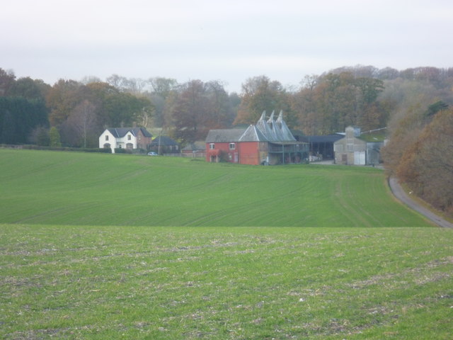
Image: © Marathon Taken: 30 Nov 2013
This is the view from Crows Camp Road of Lenhall Farm with its oasts. The tree line on the far right marks the line of the former Elham Valley Railway. It opened in 1887 and closed to passengers in 1940, closing completely in 1947. All the information about the Elham Valley Railway and the neighbouring Bishopsbourne station is given here http://www.disused-stations.org.uk/b/bishopsbourne/index.shtml
Images are licensed for reuse under creativecommons.org/licenses/by-sa/2.0
Image Location
Latitude
51.232358
Longitude
1.121524