Stammery Hill
Introduction
The photograph on this page of Stammery Hill by Derek Harper as part of the Geograph project.
The Geograph project started in 2005 with the aim of publishing, organising and preserving representative images for every square kilometre of Great Britain, Ireland and the Isle of Man.

There are currently over 7.5m images from over 14,400 individuals and you can help contribute to the project by visiting https://www.geograph.org.uk
Stammery Hill
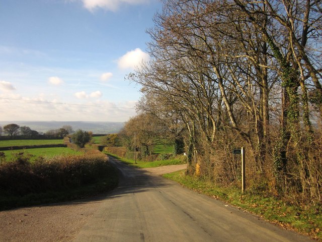
Image: © Derek Harper Taken: 23 Nov 2013
A reverse view of Image], with Axminster Bridleway 9 on the immediate left, leading to Beavor Grange, and the turn on the right to Payne's Place Farm.
Images are licensed for reuse under creativecommons.org/licenses/by-sa/2.0
Image Location
Latitude
50.779861
Longitude
-2.96119