Vacant houses, Greenisland
Introduction
The photograph on this page of Vacant houses, Greenisland by Albert Bridge as part of the Geograph project.
The Geograph project started in 2005 with the aim of publishing, organising and preserving representative images for every square kilometre of Great Britain, Ireland and the Isle of Man.

There are currently over 7.5m images from over 14,400 individuals and you can help contribute to the project by visiting https://www.geograph.org.uk
Vacant houses, Greenisland
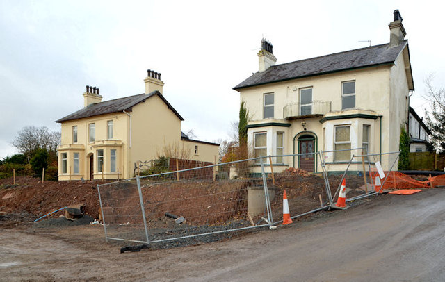
Image: © Albert Bridge Taken: 1 Dec 2013
Two vacant houses Image and Image, at the corner of the Shore Road and Neill’s Lane, overlooking the sight of their gardens Image being rebuilt as the outward lanes of the new dual carriageway.
Images are licensed for reuse under creativecommons.org/licenses/by-sa/2.0
Image Location
Latitude
54.687858
Longitude
-5.871183