Field, Lower Beavor
Introduction
The photograph on this page of Field, Lower Beavor by Derek Harper as part of the Geograph project.
The Geograph project started in 2005 with the aim of publishing, organising and preserving representative images for every square kilometre of Great Britain, Ireland and the Isle of Man.

There are currently over 7.5m images from over 14,400 individuals and you can help contribute to the project by visiting https://www.geograph.org.uk
Field, Lower Beavor
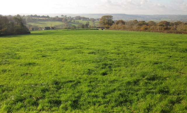
Image: © Derek Harper Taken: 23 Nov 2013
A grass field beside Axminster Footpath 17. The distant field boundary on the right borders Sector Hill. On the left is the north side of the wood shown in Image Beyond is the Mill Brook valley.
Images are licensed for reuse under creativecommons.org/licenses/by-sa/2.0
Image Location
Latitude
50.778427
Longitude
-2.971515