Summerdown Lane, East Dean
Introduction
The photograph on this page of Summerdown Lane, East Dean by Simon Carey as part of the Geograph project.
The Geograph project started in 2005 with the aim of publishing, organising and preserving representative images for every square kilometre of Great Britain, Ireland and the Isle of Man.

There are currently over 7.5m images from over 14,400 individuals and you can help contribute to the project by visiting https://www.geograph.org.uk
Summerdown Lane, East Dean
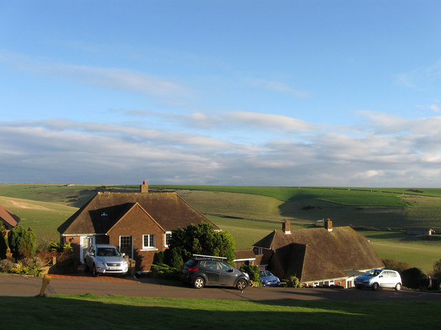
Image: © Simon Carey Taken: 23 Nov 2013
The road runs from The Link down to Michel Dene Road and is the eastern end of the Downlands estate that covers much of East Dean and Friston north of the A259 and east of the Jevington Road. Those bungalows on the eastern side of the road have a rather splendid view across to Eastdean Down.
Images are licensed for reuse under creativecommons.org/licenses/by-sa/2.0
Image Location
Latitude
50.765943
Longitude
0.214865