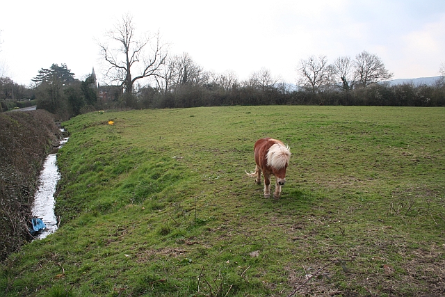
Landfill, Welland
Introduction
The photograph on this page of Landfill, Welland by Bob Embleton as part of the Geograph project.
The Geograph project started in 2005 with the aim of publishing, organising and preserving representative images for every square kilometre of Great Britain, Ireland and the Isle of Man.
There are currently over 7.5m images from over 14,400 individuals and you can help contribute to the project by visiting https://www.geograph.org.uk

Image: © Bob Embleton Taken: 24 Mar 2007
This land at the junction of a stream running from Castlemorton Common and the Merebrook running down from the Malvern Hills was often flooded and may have been a millpond for Welland Mill (some 300m to the east). During the 1990s this land was filled with many lorry loads of soil and rubble.

