What's on at Llanishen Village Hall
Introduction
The photograph on this page of What's on at Llanishen Village Hall by Jaggery as part of the Geograph project.
The Geograph project started in 2005 with the aim of publishing, organising and preserving representative images for every square kilometre of Great Britain, Ireland and the Isle of Man.

There are currently over 7.5m images from over 14,400 individuals and you can help contribute to the project by visiting https://www.geograph.org.uk
What's on at Llanishen Village Hall
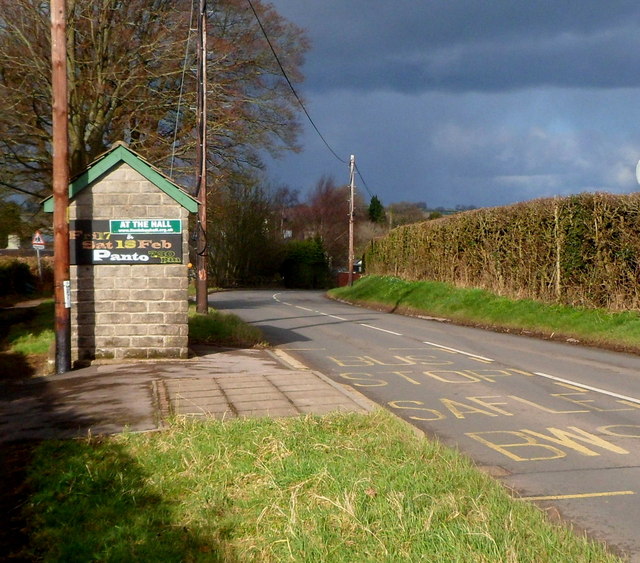
Image: © Jaggery Taken: 4 Mar 2012
Both sides of this bus shelter are used to publicise events at the village hall. http://www.geograph.org.uk/photo/3762030 The shelter is alongside the B4293 on bus route 65 from Chepstow to Monmouth.
Images are licensed for reuse under creativecommons.org/licenses/by-sa/2.0
Image Location


Leaflet Map data © OpenStreetMap
Latitude
51.723449
Longitude
-2.758556