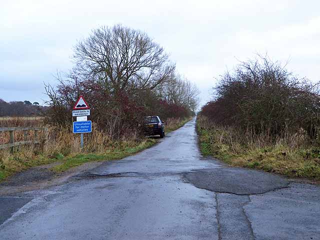
Reivers Cycle Route on Prestwick Carr
Introduction
The photograph on this page of Reivers Cycle Route on Prestwick Carr by Oliver Dixon as part of the Geograph project.
The Geograph project started in 2005 with the aim of publishing, organising and preserving representative images for every square kilometre of Great Britain, Ireland and the Isle of Man.
There are currently over 7.5m images from over 14,400 individuals and you can help contribute to the project by visiting https://www.geograph.org.uk

Image: © Oliver Dixon Taken: 28 Nov 2013
East of Ponteland and north of Newcastle Airport is an extensive area of low-lying marshy land (Prestwick Carr). The road crossing it is part of National Cycle Network route 10 (Reiver's Route); despite it being tarmac, it is not recommended for motors as coal mining subsidence has resulted in a very fragmented surface.

