OS benchmark - Tywyn, railway bridge, Bryn Awel Square
Introduction
The photograph on this page of OS benchmark - Tywyn, railway bridge, Bryn Awel Square by Richard Law as part of the Geograph project.
The Geograph project started in 2005 with the aim of publishing, organising and preserving representative images for every square kilometre of Great Britain, Ireland and the Isle of Man.

There are currently over 7.5m images from over 14,400 individuals and you can help contribute to the project by visiting https://www.geograph.org.uk
OS benchmark - Tywyn, railway bridge, Bryn Awel Square
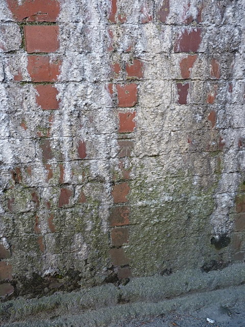
Image: © Richard Law Taken: 25 Nov 2013
An OS cutmark in the brick abutment of the railway bridge immediately north of the station. As the photo shows, it's in danger of being lost to creeping limescale deposition. Originally levelled at 7.765m above Ordnance Datum Newlyn.
Images are licensed for reuse under creativecommons.org/licenses/by-sa/2.0
Image Location


Leaflet Map data © OpenStreetMap
Latitude
52.585671
Longitude
-4.093667