Distances from NW Taunton
Introduction
The photograph on this page of Distances from NW Taunton by Jaggery as part of the Geograph project.
The Geograph project started in 2005 with the aim of publishing, organising and preserving representative images for every square kilometre of Great Britain, Ireland and the Isle of Man.

There are currently over 7.5m images from over 14,400 individuals and you can help contribute to the project by visiting https://www.geograph.org.uk
Distances from NW Taunton
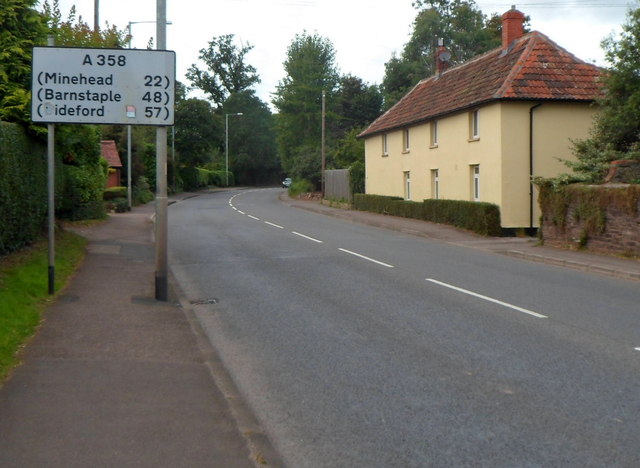
Image: © Jaggery Taken: 11 Sep 2012
The sign alongside the A358 Staplegrove Road shows 22 (miles) to Minehead, 48 to Barnstaple and 57 to Bideford.
Images are licensed for reuse under creativecommons.org/licenses/by-sa/2.0
Image Location
Latitude
51.028407
Longitude
-3.123611