A case of confused identity
Introduction
The photograph on this page of A case of confused identity by Chris as part of the Geograph project.
The Geograph project started in 2005 with the aim of publishing, organising and preserving representative images for every square kilometre of Great Britain, Ireland and the Isle of Man.

There are currently over 7.5m images from over 14,400 individuals and you can help contribute to the project by visiting https://www.geograph.org.uk
A case of confused identity
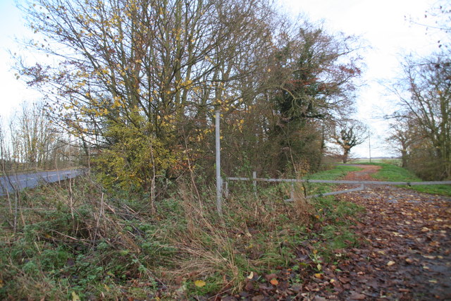
Image: © Chris Taken: 29 Nov 2013
The track on the right is a loop of the old road from North Thoresby. But the pole looks as if it once carried a footpath sign. Funny that, because there was once a path very near, but not here and not along this old piece of road. The path led to Fulstow, starting about 100m to the west, and crossing a drain which has now been enlarged and is without a bridge. See: Image
Images are licensed for reuse under creativecommons.org/licenses/by-sa/2.0
Image Location
Latitude
53.472389
Longitude
-0.014386