Sandybed Lane junction
Introduction
The photograph on this page of Sandybed Lane junction by Christopher Hall as part of the Geograph project.
The Geograph project started in 2005 with the aim of publishing, organising and preserving representative images for every square kilometre of Great Britain, Ireland and the Isle of Man.

There are currently over 7.5m images from over 14,400 individuals and you can help contribute to the project by visiting https://www.geograph.org.uk
Sandybed Lane junction
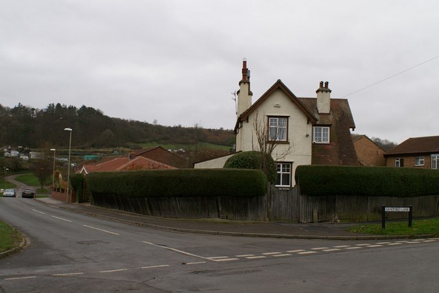
Image: © Christopher Hall Taken: 28 Nov 2013
This is the junction between Sandybed Lane, Springhill Lane, Lightfoots Lane and Lightfoots Road. The name Sandybed is descriptive of the ground conditions in this area and Springill Lane reflects the spring line to the east. The fairly recent houses to the extreme right are on the site of the former Royal Navy radio station, founded in 1914.
Images are licensed for reuse under creativecommons.org/licenses/by-sa/2.0
Image Location


Leaflet Map data © OpenStreetMap
Latitude
54.27142
Longitude
-0.425376