Fosse Way, Stretton-on-Dunsmore
Introduction
The photograph on this page of Fosse Way, Stretton-on-Dunsmore by David Stowell as part of the Geograph project.
The Geograph project started in 2005 with the aim of publishing, organising and preserving representative images for every square kilometre of Great Britain, Ireland and the Isle of Man.

There are currently over 7.5m images from over 14,400 individuals and you can help contribute to the project by visiting https://www.geograph.org.uk
Fosse Way, Stretton-on-Dunsmore
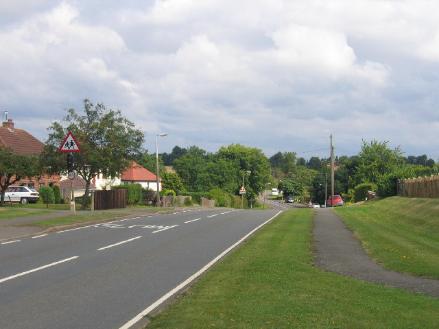
Image: © David Stowell Taken: 14 Aug 2005
The romans would not recognise this stretch of the road as it runs through the more modern part of the village.
Images are licensed for reuse under creativecommons.org/licenses/by-sa/2.0
Image Location


Leaflet Map data © OpenStreetMap
Latitude
52.349037
Longitude
-1.39805