Entrance path to St Leonards Church, Upton St Leonards
Introduction
The photograph on this page of Entrance path to St Leonards Church, Upton St Leonards by Jaggery as part of the Geograph project.
The Geograph project started in 2005 with the aim of publishing, organising and preserving representative images for every square kilometre of Great Britain, Ireland and the Isle of Man.

There are currently over 7.5m images from over 14,400 individuals and you can help contribute to the project by visiting https://www.geograph.org.uk
Entrance path to St Leonards Church, Upton St Leonards
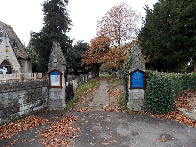
Image: © Jaggery Taken: 22 Nov 2013
From Churchfield Road. The War Memorial http://www.geograph.org.uk/photo/3760470 is just out of shot on the right.
Images are licensed for reuse under creativecommons.org/licenses/by-sa/2.0
Image Location
Latitude
51.83299
Longitude
-2.200946