President Wilson Homestead, Dergalt
Introduction
The photograph on this page of President Wilson Homestead, Dergalt by Kenneth Allen as part of the Geograph project.
The Geograph project started in 2005 with the aim of publishing, organising and preserving representative images for every square kilometre of Great Britain, Ireland and the Isle of Man.

There are currently over 7.5m images from over 14,400 individuals and you can help contribute to the project by visiting https://www.geograph.org.uk
President Wilson Homestead, Dergalt
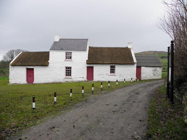
Image: © Kenneth Allen Taken: 29 Nov 2013
Front view, looking north - this place was destroyed by fire and was reconstructed
Images are licensed for reuse under creativecommons.org/licenses/by-sa/2.0
Image Location
Latitude
54.812457
Longitude
-7.425582