Rance Pitch houses, Upton St Leonards
Introduction
The photograph on this page of Rance Pitch houses, Upton St Leonards by Jaggery as part of the Geograph project.
The Geograph project started in 2005 with the aim of publishing, organising and preserving representative images for every square kilometre of Great Britain, Ireland and the Isle of Man.

There are currently over 7.5m images from over 14,400 individuals and you can help contribute to the project by visiting https://www.geograph.org.uk
Rance Pitch houses, Upton St Leonards
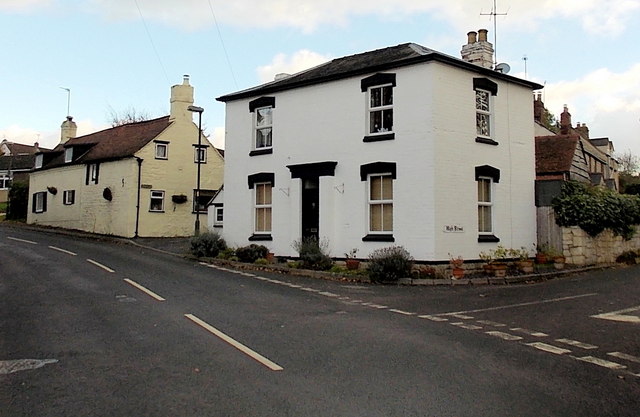
Image: © Jaggery Taken: 22 Nov 2013
Viewed from Birchall Lane. The houses are on the south side of Rance Pitch. The High Street junction is in the lower right corner of the view.
Images are licensed for reuse under creativecommons.org/licenses/by-sa/2.0
Image Location
Latitude
51.83155
Longitude
-2.201521