The footpath to Wye Downs
Introduction
The photograph on this page of The footpath to Wye Downs by Marathon as part of the Geograph project.
The Geograph project started in 2005 with the aim of publishing, organising and preserving representative images for every square kilometre of Great Britain, Ireland and the Isle of Man.

There are currently over 7.5m images from over 14,400 individuals and you can help contribute to the project by visiting https://www.geograph.org.uk
The footpath to Wye Downs
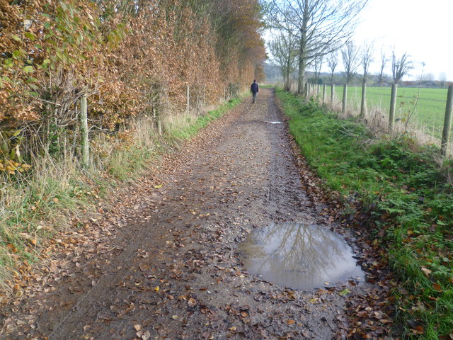
Image: © Marathon Taken: 23 Nov 2013
This footpath goes in a straight line from Wye to the path leading up to the Devil's Kneading Trough on Wye Downs. This is just past the grounds of Withersdane Hall heading towards Silks Farm. Because it was November the going was very muddy.
Images are licensed for reuse under creativecommons.org/licenses/by-sa/2.0
Image Location


Leaflet Map data © OpenStreetMap
Latitude
51.177401
Longitude
0.948239