Hurst Farm and Outbuildings
Introduction
The photograph on this page of Hurst Farm and Outbuildings by stephen betteridge as part of the Geograph project.
The Geograph project started in 2005 with the aim of publishing, organising and preserving representative images for every square kilometre of Great Britain, Ireland and the Isle of Man.

There are currently over 7.5m images from over 14,400 individuals and you can help contribute to the project by visiting https://www.geograph.org.uk
Hurst Farm and Outbuildings
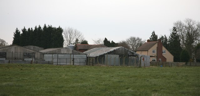
Image: © stephen betteridge Taken: 24 Mar 2007
This was at the end of the walk before walking down a short lane to join back onto the main road back to Haughton.
Images are licensed for reuse under creativecommons.org/licenses/by-sa/2.0
Image Location


Leaflet Map data © OpenStreetMap
Latitude
52.788437
Longitude
-2.220599