Nissen huts near Taunton
Introduction
The photograph on this page of Nissen huts near Taunton by Jaggery as part of the Geograph project.
The Geograph project started in 2005 with the aim of publishing, organising and preserving representative images for every square kilometre of Great Britain, Ireland and the Isle of Man.

There are currently over 7.5m images from over 14,400 individuals and you can help contribute to the project by visiting https://www.geograph.org.uk
Nissen huts near Taunton
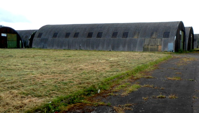
Image: © Jaggery Taken: 11 Sep 2012
This is the NE side of fenced area on the corner of the A358 and B3227 containing 8 Nissen huts, part of a former army base. There was no indication here as to their current usage.
Images are licensed for reuse under creativecommons.org/licenses/by-sa/2.0
Image Location
Latitude
51.031063
Longitude
-3.137223