Gnosall Village Lock-up
Introduction
The photograph on this page of Gnosall Village Lock-up by stephen betteridge as part of the Geograph project.
The Geograph project started in 2005 with the aim of publishing, organising and preserving representative images for every square kilometre of Great Britain, Ireland and the Isle of Man.

There are currently over 7.5m images from over 14,400 individuals and you can help contribute to the project by visiting https://www.geograph.org.uk
Gnosall Village Lock-up
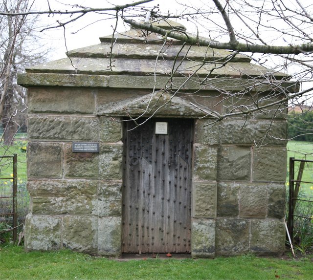
Image: © stephen betteridge Taken: 24 Mar 2007
"The village is also home to an old "Lock up".(14th Century) It is now situated between the Norman Church and the modern cemetery, and is visible from the A518, bound for Stafford. The purpose was as a mini prison, and it fits the bill with sinister efficiency visually, with its strong riveted and bolted door, no windows or other openings and thick sandstone walls. It was originally located nearer to where the mini round-about is now situated, but was carefully moved, brick by brick.(in 1931)" Quoted from Wikipedia.
Images are licensed for reuse under creativecommons.org/licenses/by-sa/2.0
Image Location
Latitude
52.784312
Longitude
-2.251565