Farmland by Howsmoor Lane
Introduction
The photograph on this page of Farmland by Howsmoor Lane by Derek Harper as part of the Geograph project.
The Geograph project started in 2005 with the aim of publishing, organising and preserving representative images for every square kilometre of Great Britain, Ireland and the Isle of Man.

There are currently over 7.5m images from over 14,400 individuals and you can help contribute to the project by visiting https://www.geograph.org.uk
Farmland by Howsmoor Lane
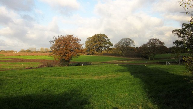
Image: © Derek Harper Taken: 22 Nov 2013
I haven't been able to work out whether all this land by a tributary of the Folly Brook will be developed or not. A map dating from 2006 at http://www.southglos.gov.uk/Documents/PTE060184.pdf suggested not, but the neighbouring field - see Image] - is mapped in the same way. Development is under way across on the left, closer to the M4.
Images are licensed for reuse under creativecommons.org/licenses/by-sa/2.0
Image Location
Latitude
51.500799
Longitude
-2.471186