Chantry Close, Yiewsley. [2]
Introduction
The photograph on this page of Chantry Close, Yiewsley. [2] by Rob Emms as part of the Geograph project.
The Geograph project started in 2005 with the aim of publishing, organising and preserving representative images for every square kilometre of Great Britain, Ireland and the Isle of Man.

There are currently over 7.5m images from over 14,400 individuals and you can help contribute to the project by visiting https://www.geograph.org.uk
Chantry Close, Yiewsley. [2]
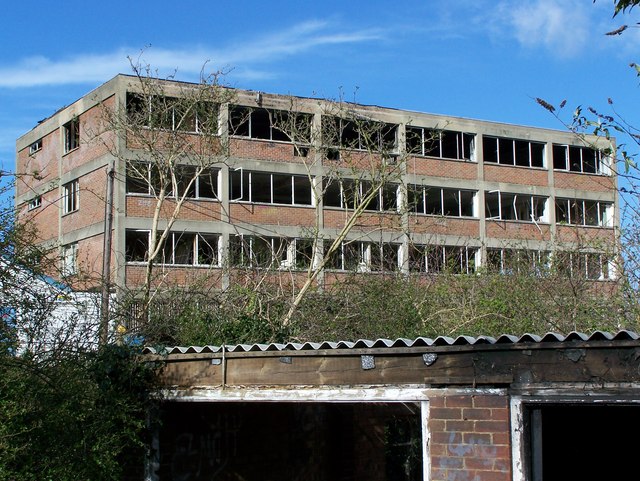
Image: © Rob Emms Taken: 18 Mar 2007
This cul-de-sac road is now closed off to the public, but doesn't stop people getting in.
Images are licensed for reuse under creativecommons.org/licenses/by-sa/2.0
Image Location
Latitude
51.515693
Longitude
-0.477234