Development site by Howsmoor Lane
Introduction
The photograph on this page of Development site by Howsmoor Lane by Derek Harper as part of the Geograph project.
The Geograph project started in 2005 with the aim of publishing, organising and preserving representative images for every square kilometre of Great Britain, Ireland and the Isle of Man.

There are currently over 7.5m images from over 14,400 individuals and you can help contribute to the project by visiting https://www.geograph.org.uk
Development site by Howsmoor Lane
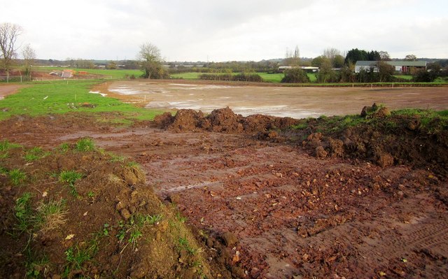
Image: © Derek Harper Taken: 22 Nov 2013
See Image], a view from the same spot. This looks to the right, with Whitehouse Farm. https://www.taylorwimpey.co.uk/proposed-developments/england/bristol/bristol/lyde-green-parcels-9-and-10 suggests that there will be semidetached houses here.
Images are licensed for reuse under creativecommons.org/licenses/by-sa/2.0
Image Location
Latitude
51.49919
Longitude
-2.468721