Development site by Howsmoor Lane
Introduction
The photograph on this page of Development site by Howsmoor Lane by Derek Harper as part of the Geograph project.
The Geograph project started in 2005 with the aim of publishing, organising and preserving representative images for every square kilometre of Great Britain, Ireland and the Isle of Man.

There are currently over 7.5m images from over 14,400 individuals and you can help contribute to the project by visiting https://www.geograph.org.uk
Development site by Howsmoor Lane
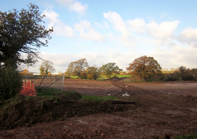
Image: © Derek Harper Taken: 22 Nov 2013
Preparations for residential development (part of Emersons Green East), seen from where a principal road will cross Howsmoor Lane. The trees are along a tributary of Folly Brook.
Images are licensed for reuse under creativecommons.org/licenses/by-sa/2.0
Image Location
Latitude
51.499813
Longitude
-2.470456