Whitehouse Farm
Introduction
The photograph on this page of Whitehouse Farm by Derek Harper as part of the Geograph project.
The Geograph project started in 2005 with the aim of publishing, organising and preserving representative images for every square kilometre of Great Britain, Ireland and the Isle of Man.

There are currently over 7.5m images from over 14,400 individuals and you can help contribute to the project by visiting https://www.geograph.org.uk
Whitehouse Farm
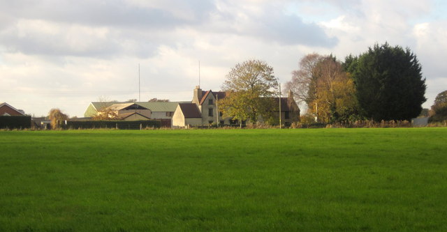
Image: © Derek Harper Taken: 22 Nov 2013
Seen across the meadow visible in Image] from the kissing gate. The farmhouse, originally C17, is listed http://list.english-heritage.org.uk/resultsingle.aspx?uid=1212367&searchtype=mapsearch . The field is access land, part of Lyde Green Common, which should survive development in this area.
Images are licensed for reuse under creativecommons.org/licenses/by-sa/2.0
Image Location
Latitude
51.499108
Longitude
-2.466703