Flood prevention wall, Richborough Road
Introduction
The photograph on this page of Flood prevention wall, Richborough Road by John Baker as part of the Geograph project.
The Geograph project started in 2005 with the aim of publishing, organising and preserving representative images for every square kilometre of Great Britain, Ireland and the Isle of Man.

There are currently over 7.5m images from over 14,400 individuals and you can help contribute to the project by visiting https://www.geograph.org.uk
Flood prevention wall, Richborough Road
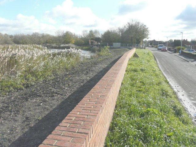
Image: © John Baker Taken: 19 Nov 2013
That has been built, as part of the Sandwich Town Tidal Defence Scheme, beside the River Stour, seen here to its left.
Images are licensed for reuse under creativecommons.org/licenses/by-sa/2.0
Image Location
Latitude
51.280883
Longitude
1.33192