Parkland and Ring Road St Andrew's, Wolverhampton
Introduction
The photograph on this page of Parkland and Ring Road St Andrew's, Wolverhampton by Roger D Kidd as part of the Geograph project.
The Geograph project started in 2005 with the aim of publishing, organising and preserving representative images for every square kilometre of Great Britain, Ireland and the Isle of Man.

There are currently over 7.5m images from over 14,400 individuals and you can help contribute to the project by visiting https://www.geograph.org.uk
Parkland and Ring Road St Andrew's, Wolverhampton
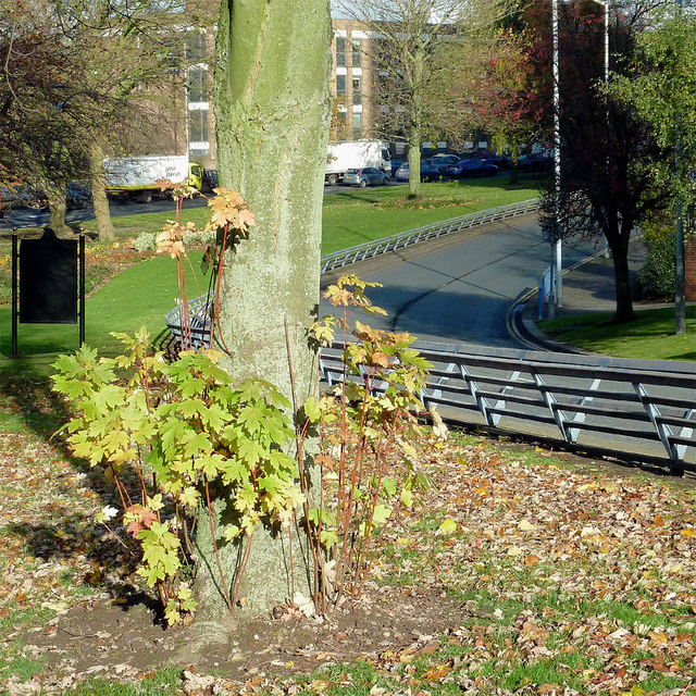
Image: © Roger D Kidd Taken: 22 Nov 2013
From the Chapel Ash roundabout, clockwise to the crossroads at Waterloo Road, the two carriageways of the ring road are separated by a wide and attractively landscaped strip of public parkland. Mature trees and bushes grow in well tended grassy areas with seating.
Images are licensed for reuse under creativecommons.org/licenses/by-sa/2.0
Image Location
Latitude
52.587018
Longitude
-2.13442