Huckford Viaduct
Introduction
The photograph on this page of Huckford Viaduct by Derek Harper as part of the Geograph project.
The Geograph project started in 2005 with the aim of publishing, organising and preserving representative images for every square kilometre of Great Britain, Ireland and the Isle of Man.

There are currently over 7.5m images from over 14,400 individuals and you can help contribute to the project by visiting https://www.geograph.org.uk
Huckford Viaduct
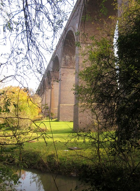
Image: © Derek Harper Taken: 22 Nov 2013
Seen across the River Frome from the Frome Valley Walkway. The viaduct dates from 1902, and has 11 arches http://en.wikipedia.org/wiki/Huckford_Viaduct . Sheep graze beneath.
Images are licensed for reuse under creativecommons.org/licenses/by-sa/2.0
Image Location


Leaflet Map data © OpenStreetMap
Latitude
51.517692
Longitude
-2.495717