Dronfield roofscape
Introduction
The photograph on this page of Dronfield roofscape by Graham Hogg as part of the Geograph project.
The Geograph project started in 2005 with the aim of publishing, organising and preserving representative images for every square kilometre of Great Britain, Ireland and the Isle of Man.

There are currently over 7.5m images from over 14,400 individuals and you can help contribute to the project by visiting https://www.geograph.org.uk
Dronfield roofscape
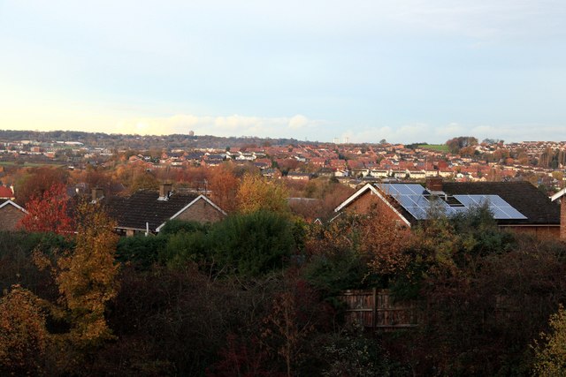
Image: © Graham Hogg Taken: 18 Nov 2013
Taken from a footbridge over the A61 Dronfield by-pass. At dusk this was the first blue sky we had seen all day. On the skyline are the Norton water tower Image and the Herdings multi-storey flats in Sheffield.
Images are licensed for reuse under creativecommons.org/licenses/by-sa/2.0
Image Location
Latitude
53.298262
Longitude
-1.47812