Path to Frampton Court
Introduction
The photograph on this page of Path to Frampton Court by Derek Harper as part of the Geograph project.
The Geograph project started in 2005 with the aim of publishing, organising and preserving representative images for every square kilometre of Great Britain, Ireland and the Isle of Man.

There are currently over 7.5m images from over 14,400 individuals and you can help contribute to the project by visiting https://www.geograph.org.uk
Path to Frampton Court
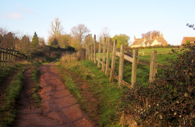
Image: © Derek Harper Taken: 22 Nov 2013
Footpath LFC/34 climb away from the Frome. Ahead are Frampton Court and Court Lodge, originally one C15 house http://list.english-heritage.org.uk/resultsingle.aspx?uid=1312971&searchtype=mapsearch .
Images are licensed for reuse under creativecommons.org/licenses/by-sa/2.0
Image Location
Latitude
51.530489
Longitude
-2.488648