Fletcher Avenue
Introduction
The photograph on this page of Fletcher Avenue by Thomas Nugent as part of the Geograph project.
The Geograph project started in 2005 with the aim of publishing, organising and preserving representative images for every square kilometre of Great Britain, Ireland and the Isle of Man.

There are currently over 7.5m images from over 14,400 individuals and you can help contribute to the project by visiting https://www.geograph.org.uk
Fletcher Avenue
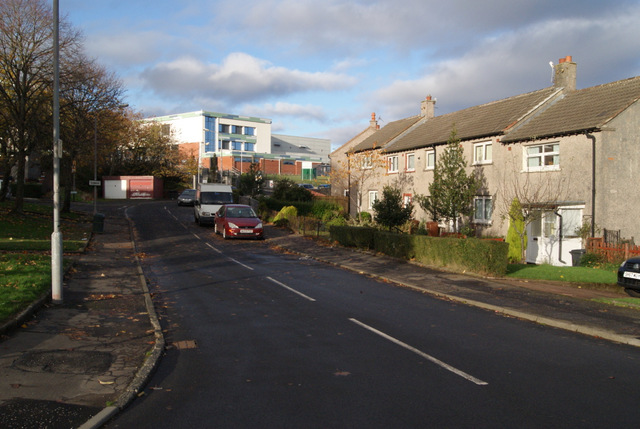
Image: © Thomas Nugent Taken: 4 Nov 2013
With the new St Columba's Highs School in the background. This new building is part new build and part refurbishment of the former Gourock High School which stood here until 2011.
Images are licensed for reuse under creativecommons.org/licenses/by-sa/2.0
Image Location
Latitude
55.953237
Longitude
-4.820644