Bridge near Draycote
Introduction
The photograph on this page of Bridge near Draycote by David Stowell as part of the Geograph project.
The Geograph project started in 2005 with the aim of publishing, organising and preserving representative images for every square kilometre of Great Britain, Ireland and the Isle of Man.

There are currently over 7.5m images from over 14,400 individuals and you can help contribute to the project by visiting https://www.geograph.org.uk
Bridge near Draycote
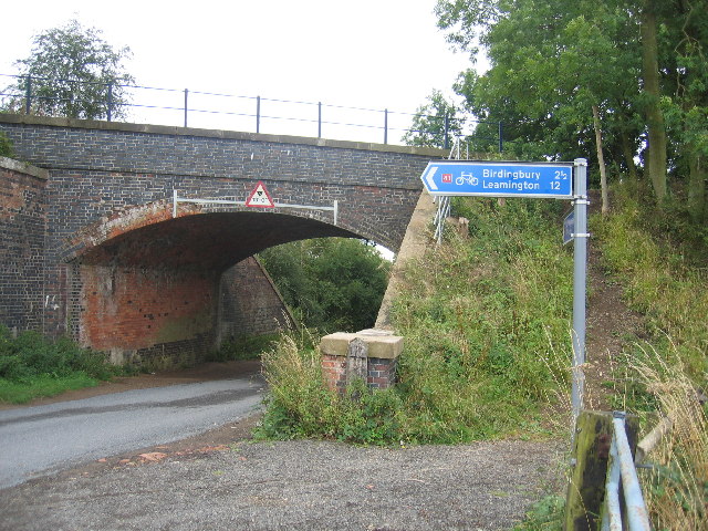
Image: © David Stowell Taken: 14 Aug 2005
The bridge carrying the formation of the Rugby to Leamington Railway line as it crosses the lane to Draycote. Currently the trackbed is used as a cycle track.
Images are licensed for reuse under creativecommons.org/licenses/by-sa/2.0
Image Location


Leaflet Map data © OpenStreetMap
Latitude
52.332566
Longitude
-1.343975