Long Furrow, East Goscote
Introduction
The photograph on this page of Long Furrow, East Goscote by Alan Murray-Rust as part of the Geograph project.
The Geograph project started in 2005 with the aim of publishing, organising and preserving representative images for every square kilometre of Great Britain, Ireland and the Isle of Man.

There are currently over 7.5m images from over 14,400 individuals and you can help contribute to the project by visiting https://www.geograph.org.uk
Long Furrow, East Goscote
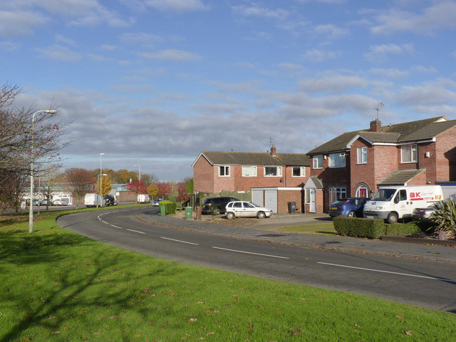
Image: © Alan Murray-Rust Taken: 22 Nov 2013
This is the main distributor road for the village, completing a circuit of most of the housing development.
Images are licensed for reuse under creativecommons.org/licenses/by-sa/2.0
Image Location
Latitude
52.712905
Longitude
-1.059107