Housing along the A815 in Sandbank
Introduction
The photograph on this page of Housing along the A815 in Sandbank by Alan Reid as part of the Geograph project.
The Geograph project started in 2005 with the aim of publishing, organising and preserving representative images for every square kilometre of Great Britain, Ireland and the Isle of Man.

There are currently over 7.5m images from over 14,400 individuals and you can help contribute to the project by visiting https://www.geograph.org.uk
Housing along the A815 in Sandbank
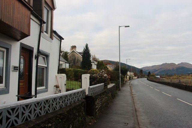
Image: © Alan Reid Taken: 24 Nov 2013
These properties overlook part of the shore used by the Americans when they occupied the Holy Loch. The site is very slowly being redeveloped
Images are licensed for reuse under creativecommons.org/licenses/by-sa/2.0
Image Location
Latitude
55.984029
Longitude
-4.952766