River Alt Resource Centre, Huyton
Introduction
The photograph on this page of River Alt Resource Centre, Huyton by Sue Adair as part of the Geograph project.
The Geograph project started in 2005 with the aim of publishing, organising and preserving representative images for every square kilometre of Great Britain, Ireland and the Isle of Man.

There are currently over 7.5m images from over 14,400 individuals and you can help contribute to the project by visiting https://www.geograph.org.uk
River Alt Resource Centre, Huyton
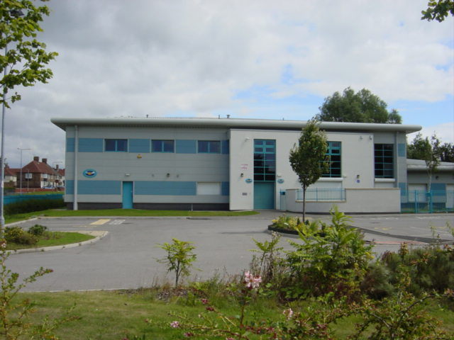
Image: © Sue Adair Taken: 14 Aug 2005
Built on the former Knowsley United Rugby ground of Alt Park, this resource centre is vital to the community of Woolfall Heath. Situated on the corner of Seth Powell Way and Woolfall Heath Avenue, the river Alt which gives the centre its name runs behind it but the banks are so overgrown it cannot be seen.
Images are licensed for reuse under creativecommons.org/licenses/by-sa/2.0
Image Location
Latitude
53.423553
Longitude
-2.85169