British Road
Introduction
The photograph on this page of British Road by Robert Ashby as part of the Geograph project.
The Geograph project started in 2005 with the aim of publishing, organising and preserving representative images for every square kilometre of Great Britain, Ireland and the Isle of Man.

There are currently over 7.5m images from over 14,400 individuals and you can help contribute to the project by visiting https://www.geograph.org.uk
British Road
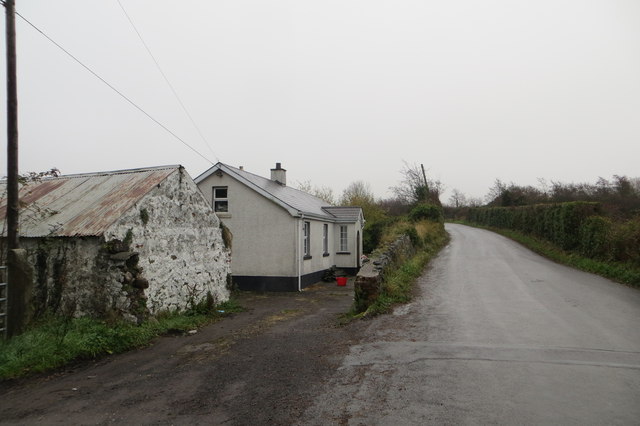
Image: © Robert Ashby Taken: 23 Nov 2013
Cottage and old farm building on British Road. Just out of sight round the bend is a steep and narrow section where the road goes over a severe hump-back bridge spanning the former railway line between Antrim and Lisburn.
Images are licensed for reuse under creativecommons.org/licenses/by-sa/2.0
Image Location
Latitude
54.664833
Longitude
-6.238962