Road Bridge and Railway Viaduct at Broadbottom
Introduction
The photograph on this page of Road Bridge and Railway Viaduct at Broadbottom by Jonathan Clitheroe as part of the Geograph project.
The Geograph project started in 2005 with the aim of publishing, organising and preserving representative images for every square kilometre of Great Britain, Ireland and the Isle of Man.

There are currently over 7.5m images from over 14,400 individuals and you can help contribute to the project by visiting https://www.geograph.org.uk
Road Bridge and Railway Viaduct at Broadbottom
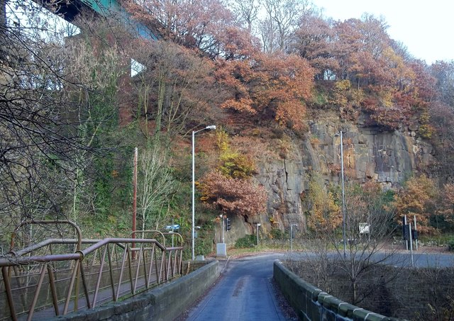
Image: © Jonathan Clitheroe Taken: 23 Nov 2013
Road and railway bridges spanning the River Etherow. An exposed face of Best Hill quarry can also be seen on the right of picture.
Images are licensed for reuse under creativecommons.org/licenses/by-sa/2.0
Image Location
Latitude
53.438276
Longitude
-2.008993