Track off Mayfield Avenue, Throckley
Introduction
The photograph on this page of Track off Mayfield Avenue, Throckley by Andrew Curtis as part of the Geograph project.
The Geograph project started in 2005 with the aim of publishing, organising and preserving representative images for every square kilometre of Great Britain, Ireland and the Isle of Man.

There are currently over 7.5m images from over 14,400 individuals and you can help contribute to the project by visiting https://www.geograph.org.uk
Track off Mayfield Avenue, Throckley
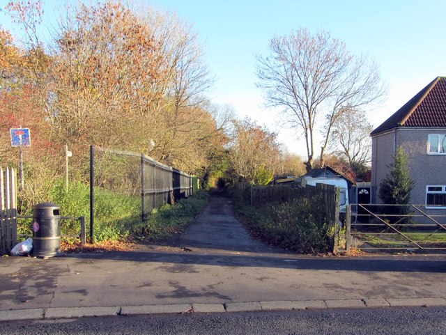
Image: © Andrew Curtis Taken: 22 Nov 2013
The track follows the line of the former Throckley Waggonway that led from the Throckley collieries to the River Tyne at Lemington.
Images are licensed for reuse under creativecommons.org/licenses/by-sa/2.0
Image Location
Latitude
54.990933
Longitude
-1.745847